
Turn scattered markers into a usable inventory.
Greenlight Restoration can support cities and towns with planned field visits to known municipal boundary monuments. We begin with the municipality’s existing maps and records, agree on access and permissions, then work through a marker list using a two-person field team.
Fieldwork can include contacting property owners on the municipality’s behalf, limited vegetation clearing where authorized, careful cleaning, legibility checks, photographs and GPS coordinates. Each marker can receive an identification number, condition and access notes, and recommended follow-up.
Documentation for the next perambulation.
Deliverables can include a marker-by-marker inventory, photographic record, location map or data export, and a summary of missing, damaged or difficult-to-access markers. We can propose a repeatable annual workflow for municipal staff.
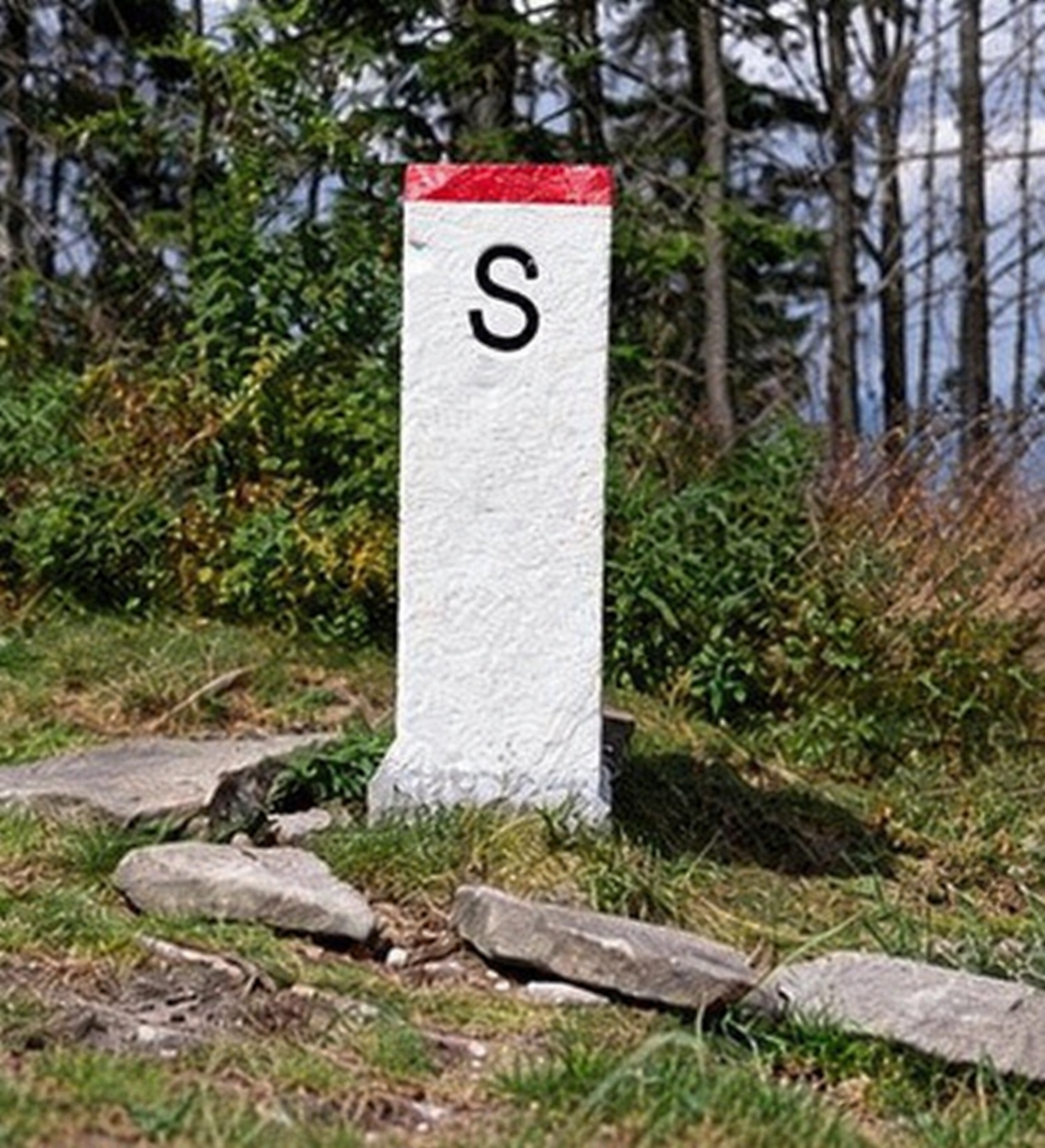
Greenlight Restoration field imagery